
A Regional District of Okanagan-Similkameen administrative report dated September 24 recommends that proposed Okanagan Valley Zoning Amendment Bylaw No. 2800.61 proceed as presented. The proposal would incorporate updated floodplain mapping and regulations for Park Rill Creek, Horn Creek and Kearns Creek in Electoral Areas C and I.[8]
That recommendation is not the same as adoption. The RDOS project page still shows the public hearing as “TBD” and the bylaw-reading fields as future steps. Property owners and buyers should therefore separate three things: the engineering maps, the staff recommendation, and any decision the Board may ultimately make.[1]
Updated maps. Contested proposal. Parcel-specific questions.
PROCESS STATUS
What changed on September 24
The timely development is the September 24 administrative report. It asks the Electoral Area Services Committee for direction and recommends that the amendment proceed without changes. The same report also presents alternatives to modify the amendment or abandon it.[8]
The underlying mapping is not new today. The RDOS received the Park Rill Creek, Horn Creek and Kearns Creek Flood Mapping Report in 2022 after flooding in those watersheds during the 2018 freshet. The work included hydrologic and hydraulic modelling, detailed mapping for Twin Lakes, Willowbrook and Sportsmens Bowl Road, consequence assessment, mitigation identification and a visual inspection of a 12-kilometre reach of Park Rill Creek.[1]
The project has also been through public consultation. The September 24 report records four attendees at the July 6 Oliver meeting, approximately 30 at the July 7 Twin Lakes meeting and 10 at the July 8 online meeting. It says approximately 48 representations had been received when the report was drafted and characterizes them as largely opposed.[8]
Those participation figures matter because the proposal is contested, but they do not resolve the technical or policy question. Public representations record concerns and preferences. Engineering, planning law, site conditions and formal Board decisions remain separate evidence streams.
MAPPING AND RULES
What the proposed mapping would do
RDOS floodplain controls already apply in the Okanagan Valley electoral areas through Zoning Bylaw No. 2800. For Park Rill, Horn and Kearns creeks, the current approach relies on text rather than a dedicated map. The project proposes adding mapped floodplain boundaries and updating the applicable floodplain regulations based on the Northwest Hydraulic Consultants work.[1]
The existing bylaw framework includes floodplain designations, flood construction levels, setbacks from watercourses, rules for measuring those levels and requirements for habitable areas and certain other structures. The RDOS project page describes current setbacks of 7.5 metres from the natural boundary of a lake, pond or marsh in the stated circumstances and 15 metres from the natural boundary of another watercourse.[1]
The September 24 report argues that maps would provide greater accuracy, consistency and clarity than written descriptions alone. Staff also says the mapping captures physical changes associated with the 2018 freshet, including erosion, sediment deposition and altered flow paths.[8]
A map is still not a prediction that a particular property will flood in a particular year. The Province explains that floodplain maps identify areas susceptible to flooding and may show flood extent, setbacks and flood construction levels. Flooding can occur outside a mapped area, and an event can exceed the mapped scenario.[3]
PROBABILITY
Understand “1-in-200” correctly
Flood scenarios are often described by an annual exceedance probability and an equivalent return period. The Province’s table pairs a 0.5% annual exceedance probability with a 200-year return period.[3]
That does not mean a mapped 1-in-200 event happens on a predictable 200-year schedule. It means the modelled event has a 0.5% chance of being equalled or exceeded in any given year. The probability resets each year; one flood does not create a guaranteed quiet interval afterward.[3]
For property due diligence, ask:
- Which map version and design event apply to the parcel?
- Is the house, proposed building site, septic system, driveway or access route inside the mapped extent?
- What flood construction level and setback would apply to new work?
- Is an existing structure legally non-conforming, and what happens after substantial damage or redevelopment?
- Would a site-specific professional assessment be required for a permit, subdivision or requested exemption?
Do not answer those questions from a screenshot, a listing description or a neighbour’s experience. Confirm the parcel against the current RDOS materials and obtain written guidance from the authority responsible for the proposed work.
BUYER DUE DILIGENCE
What buyers should verify before removing conditions
A buyer considering rural Oliver, Twin Lakes, Willowbrook or Sportsmens Bowl Road should treat flood information as one component of property due diligence—not as a pass/fail label by itself.
Start with the exact legal parcel, not only the civic address. Review the title, property disclosure statement, permits, historical improvements, drainage features, wells, septic records, access and any available engineering reports. Ask whether there have been prior flood events, water entry, erosion, washouts, emergency works, claims, repairs or unpermitted changes.
Then verify planning status directly with RDOS. The project is still a proposal, so buyers should distinguish current regulations from possible future amendments. Ask which rules apply today, what the draft would change for that parcel, whether planned additions or rebuilding would require different elevations or setbacks, and whether any exemption path is available.
Insurance belongs before subject removal. The Insurance Bureau of Canada says overland flood coverage is optional and policy terms differ. It may cover water entering from overflowing lakes or rivers, heavy rainfall, snowmelt, or rising groundwater depending on the policy, while sewer backup generally requires separate optional coverage.[5]
Get a property-specific quotation and ask the insurer or broker to confirm in writing the covered causes, exclusions, deductible, limits, sewer-backup treatment, additional living expense coverage and whether updated mapping could affect renewal. A mortgage approval does not prove that every flood peril is insured.
OWNER RECORDS
What sellers and homeowners should prepare
Sellers should not market a planning proposal as either harmless or final. Assemble records that let a buyer evaluate the property: permits, site plans, surveys, septic and well documents, invoices for drainage or flood-related work, insurance claims history where required, and any professional reports you are entitled to share.
A mapped designation does not automatically establish market value. Value depends on the whole property, the applicable rules, insurability, financing, condition, access, evidence of past events and the alternatives competing for the same buyer. If value is disputed, use property-specific appraisal evidence rather than a generalized percentage.
Homeowners planning construction should pause before assuming an existing footprint can simply be replaced. Confirm the rules for renovation, addition, accessory buildings, septic work and rebuilding after damage. The September 24 staff report states that existing development may have non-conforming siting rights and refers to a statutory floodplain-exemption process supported by a professional engineer, but the applicability and requirements must be confirmed for the specific project.[8]
Document practical resilience measures as well. Grading, drainage, culverts, backflow protection, sump systems, utilities, fuel tanks and emergency access may all matter, but any work near a watercourse or regulated area can require approvals. A contractor’s suggestion is not a substitute for RDOS, provincial, engineering or environmental authorization.
INSURANCE SCOPE
Keep national insurance numbers in national scope
IBC reported in July that approximately 94% of Canadian residential properties were eligible for overland flood insurance, while the remaining 6% tended to be in higher-risk areas where coverage could be unavailable or unaffordable. It also reported that household take-up rose from 26% in 2017 to 71% in 2023 and that 88% of overland flood policies cost $300 or less annually.[4]
Those are national estimates from an industry survey, not quotes for Electoral Areas C or I. IBC says the survey respondents represented nearly 70% of the personal-property insurance market by revenue and that figures were scaled to estimate full-market participation.[4]
The right conclusion is not that a Twin Lakes or Willowbrook property will be insurable for $300. The right conclusion is that availability has broadened nationally while property-level eligibility, coverage and price remain insurer- and policy-specific. IBC itself advises consumers to review policy wording and speak with their insurance representative.[4]
This distinction also matters for financing. A lender can require evidence of acceptable insurance and may apply its own property, appraisal and underwriting criteria. A map does not determine the mortgage by itself, but unresolved insurance, access or rebuilding questions can affect a transaction.
PRACTICAL EFFECT
What this means for you
NEXT STEPS
A practical property checklist
- Open the RDOS project page and confirm the newest posted report, map and bylaw version.
- Identify the legal parcel and determine which jurisdiction and current zoning rules apply.
- Ask RDOS how the current regulation and draft amendment differ for that parcel.
- Review permits, disclosure, title, septic, well, access and prior water-related records.
- Obtain a written insurance quotation that addresses overland flood and sewer backup separately.
- Ask the lender what insurance and appraisal evidence must remain valid through completion.
- Use a lawyer for contract and title questions and a qualified professional for site-specific flood or engineering questions.
- Recheck the official RDOS page before subject removal, permit application or closing because the proposal can proceed, change or be abandoned.
The September 24 report moves the discussion forward, but it does not replace parcel-level due diligence and it does not by itself adopt the amendment. The disciplined response is to keep the process status accurate, obtain written property-specific answers and avoid converting a regional map into an unsupported conclusion about value, insurance or future development.
Use the guided Matchmaker to compare communities and property types. If flood information may affect your selling plan, visit Sell, or contact Rico for a property-specific real-estate conversation.
This article provides general real-estate information, not legal, engineering, planning, appraisal, mortgage, tax, insurance, environmental or financial advice. Proposed bylaws can change. Confirm current requirements with RDOS, obtain independent legal and technical advice, and confirm coverage directly with a licensed insurance professional.
Sources
- RDOS — Park Rill Creek, Horn Creek and Kearns Creek Floodplain Mapping Review
- Province of British Columbia — Floodplain mapping
- Insurance Bureau of Canada — State of the Flood Insurance Market in Canada
- Insurance Bureau of Canada — Flooding and insurance
- RDOS — September 24 Floodplain Mapping Update administrative report
- Wikimedia Commons — Okanagan River at Inkaneep during 2017 snowmelt

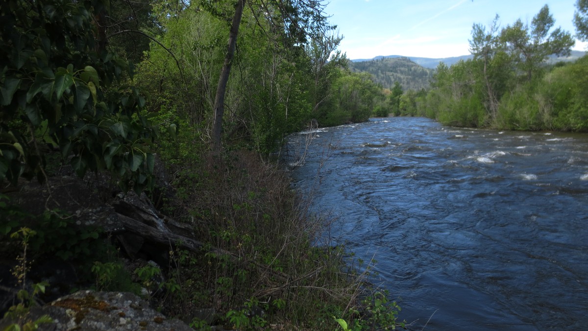
Image credit: Extemporalist, Wikimedia Commons, CC0. Okanagan River at Inkaneep Provincial Park during 2017 snowmelt; a regional flood-context photograph, not Park Rill, Horn Creek, Kearns Creek or a specific property. Cropped and lightly contrast-adjusted.
Turn the information into your next step
Choose the path that matches the decision you are making now.
Planning a Penticton move? Explore Rico’s Penticton real estate guidance and current listings.